Below are a few assignments Cesar completed while enrolled in university:
First assignment aimed at developing basic skills on how to use and understand ArcMap, letting the student get in touch by the first time with the program and the interface.
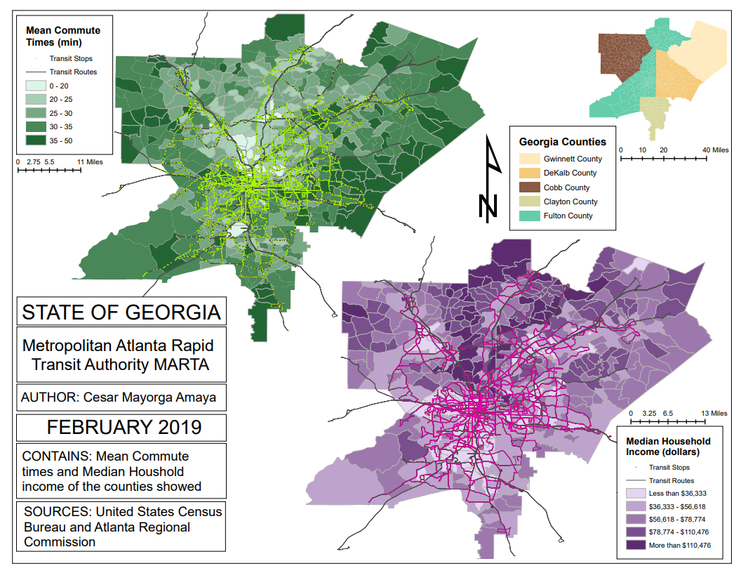
Fourth assignment aimed to practice the creation of cloropleth maps and the merge and join of different datasets.
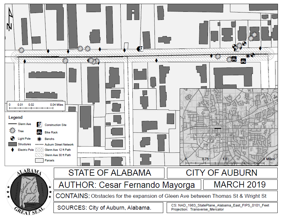
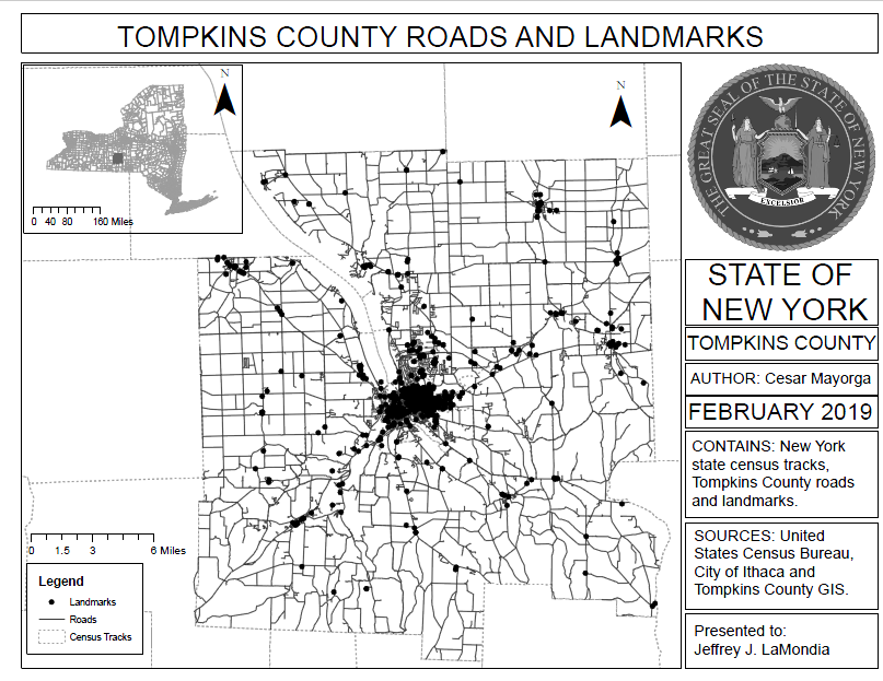
This lab aims to familiarize the student with the hand-held devices GPS for data collection, how to transfer those to ArcGIS, and implement previous lessons such as Edit, Buffer, etc.
|
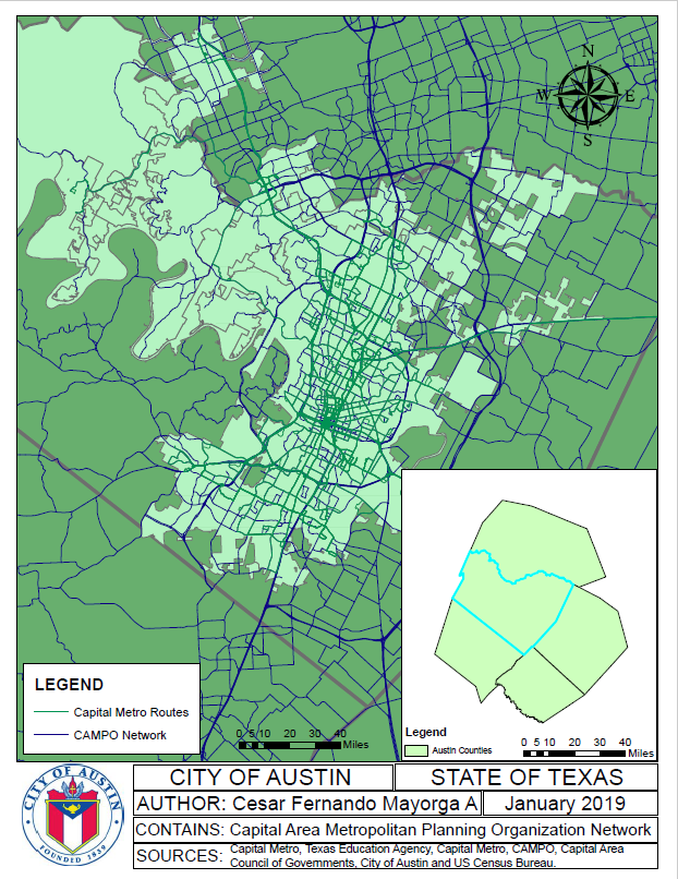
Second assignment aimed to help students to see the importance of visualization and how to prioritize information to present a map in an proffesional manner.
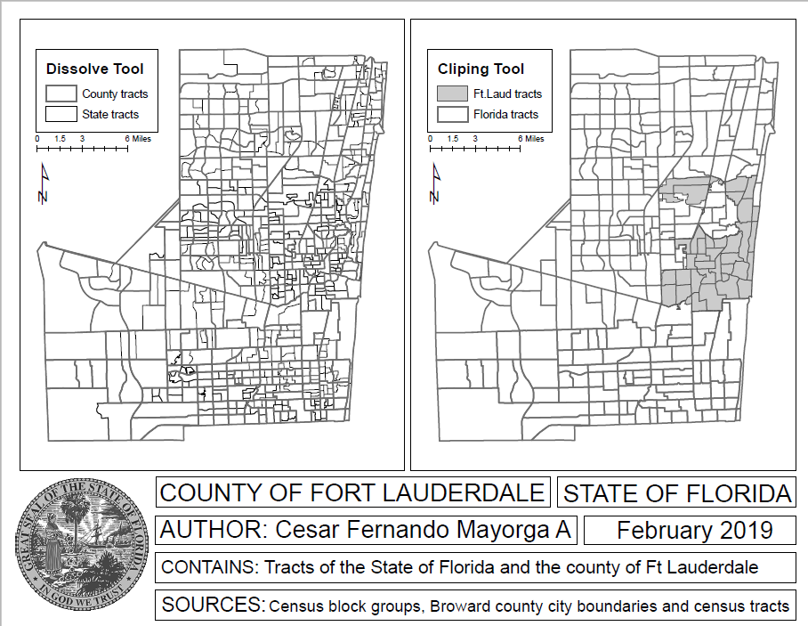
With this assignment seeks to put into practice the use of tools such as buffer, clip, dissolve and union.
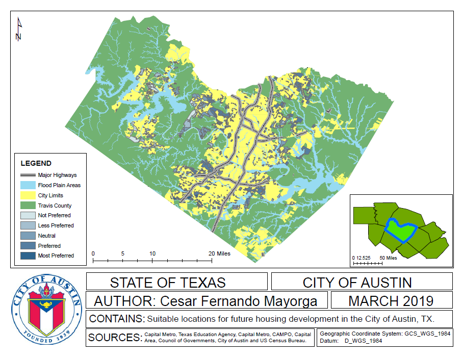
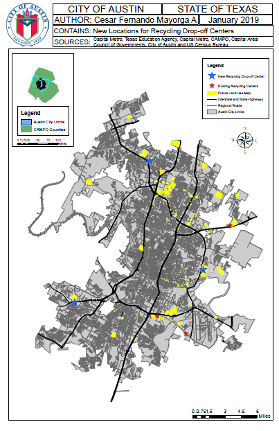
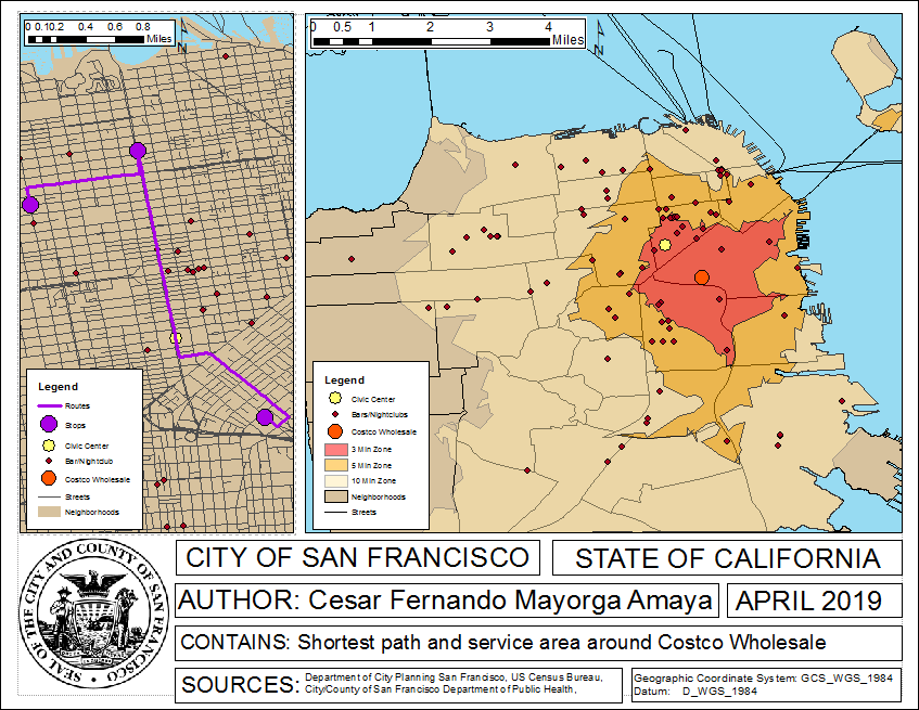
The eight assignment seeks for students to use all the tools previously learnt to make spatial analysis of an area and solve a problem using the software.
|
The third assignment seeks for students to highlight the importance of having the same coordinate system on a map, in order to accurately calculate area and distance calculations.
This lab teaches the student how to georeference printed/scanned maps with shapefiles.
This assignment aims for the student to learn the use of the ArcGIS software's Network Analyst tool
|
